Truck-aware routing
Plan routes with dimensions, weight, axles, trailers, stops, and operational restrictions before a trip begins.
Truck routing platform
TruckerTrack helps carriers and fleet operators plan truck routes, monitor trips, capture delivery evidence, and keep cross-border operations visible from Mexico to the United States.
The platform is shaped around real transportation work: truck profiles, route restrictions, active trips, GPS, evidence, and workflows for drivers and fleet administrators.
Plan routes with dimensions, weight, axles, trailers, stops, and operational restrictions before a trip begins.
Monitor active trips, record locations, pause or resume work, and keep a reliable field history.
Capture photos, incidents, and proof of delivery so the back office has context without chasing scattered messages.
Designed for office teams, dispatchers, drivers, and cross-border operations that need fewer calls and stronger traceability.
Visibility into trips, vehicles, drivers, and evidence without relying on scattered manual reports.
Routes, stops, trip status, and incidents in a workflow that helps prioritize operational decisions.
A mobile experience to start trips, share location, capture evidence, and report exceptions.
Context for cross-border routes where restrictions, coordination, and proof of delivery matter.
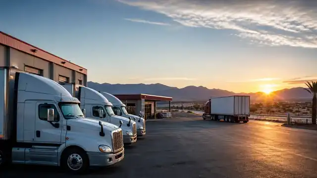
Organize units, drivers, and stops with enough context for each trip to start with less uncertainty.
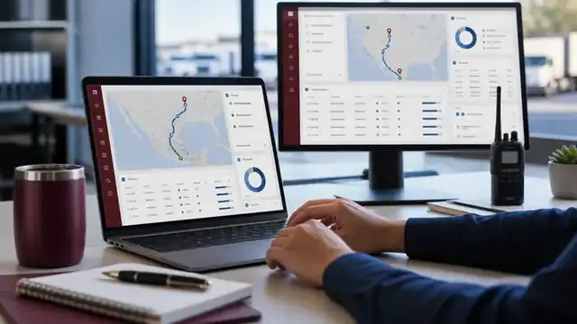
Back-office teams can follow routes, locations, stops, and incidents from a view designed for active operations.
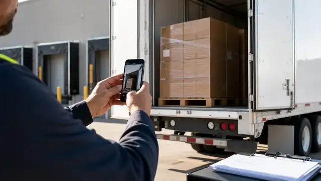
Drivers capture photos, receipts, and incidents at the right moment so trips close with verifiable support.
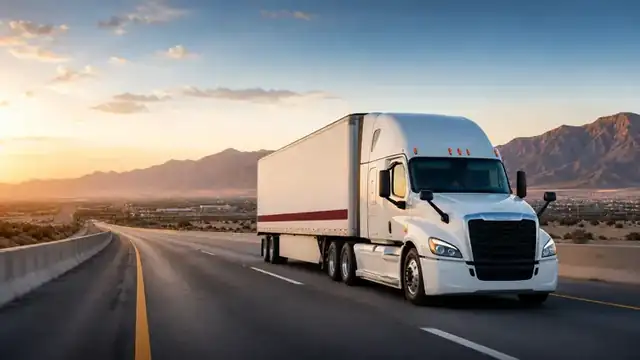
Coordinate trips between Mexico and the United States with a platform oriented around restrictions, timing, and proof of delivery.
TruckerTrack structures trucking work into clear steps so dispatch, drivers, and the office share the same operational context.
Set origin, destination, stops, and truck profile before the trip begins.
Connect the plan to the driver, vehicle, and operating details the company needs.
Follow the active trip with status updates, locations, and history tied to the trip record.
Record photos, receipts, incidents, and delivery context from the mobile app.
Use route, GPS, evidence, and exceptions to close with fewer calls and stronger traceability.
TruckerTrack connects administrators, dispatchers, and drivers through a mobile-first operating flow with enough data to act without overwhelming the team.
Register vehicles, specs, weight, driver, and stops so a car route does not become a risky truck decision.
Drivers work from the mobile app with trip status, navigation handoff, location, evidence, and incidents in one flow.
The company reviews history, locations, events, files, and exceptions with fewer calls and stronger evidence.
The primary experience is designed for the mobile app: routes, trips, GPS, evidence, and incidents. This landing page presents the commercial offer.
The product is designed around truck profiles and routing providers that can account for dimensions, weight, axles, and stops.
Yes. The commercial positioning focuses on cross-border road transportation, with visibility for both office teams and drivers.
Request early access to review routes, vehicles, drivers, GPS, evidence, and subscriptions against your real operation.
Request early accessShare enough context for us to understand your routes, fleet, and field workflow. We will use it to prioritize early access conversations.